


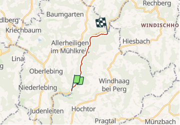

10.6 km | 15.4 km-effort

Tous les sentiers balisés d’Europe GUIDE+


FREE GPS app for hiking
 SityTrail
IGN / Geographical institutes
SityTrail World
The world is yours!
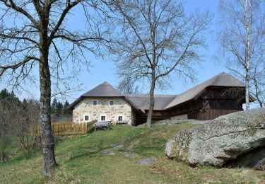
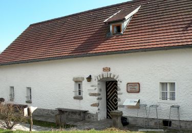
Trail On foot of 4 km to be discovered at Upper Austria, Bezirk Perg, Windhaag bei Perg. This trail is proposed by SityTrail - itinéraires balisés pédestres.
Symbol: gelber Buchstabe N auf schwarzem Kreis auf gelbem Grund, daneben manchmal die Bezeichnung Naarntalweg

On foot
On foot
On foot
On foot
On foot
On foot
On foot
On foot

On foot